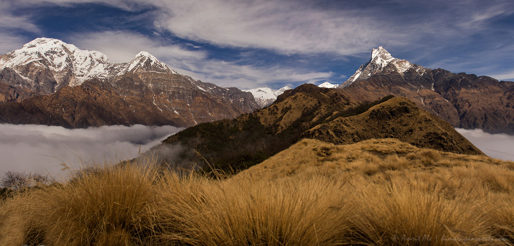
Is the Mardi Himal Trek Safe After the 2026 Nepal Floods?
Short answer: yes. The Mardi Himal Trek starts and ends in the Pokhara valley, on a trailhead and road system that neither of Nepal’s two 2026 flood events touched. Here’s the actual geography behind that answer, not just a reassurance.
Why This Question Keeps Coming Up
Two separate flood events hit Nepal in 2026, and both made international news, which is why trekkers researching any Nepal route this season are running into flood headlines by default. Neither one occurred anywhere near the Mardi Himal trail.
Event 1: The August 26 Rasuwa Flash Flood
A glacial collapse on the Tibetan side of the border sent a debris flow into the Bhote Koshi River, which surged down the Trishuli River corridor north of Kathmandu. It devastated Rasuwa, Nuwakot, Dhading, Gorkha, and parts of Chitwan. The death toll continued climbing through early September, later confirmed above 460 with well over a thousand injured, and a second flood warning followed when water levels rose again at the same site. This was, and remains, a Kathmandu-side, northern-corridor disaster — hundreds of kilometers from Pokhara and the Annapurna south region where Mardi Himal sits.
Event 2: The July 13 Kimrung Khola / Ghandruk Flood
A separate, smaller monsoon flash flood hit the Kimrung Khola near Ghandruk in Kaski district — the same district Mardi Himal is in, which is why this one is worth addressing directly. It washed out a suspension bridge and a stretch of the Nayapul–Birethanti–Ghandruk road, cutting vehicle access to Ghandruk. That road serves the Annapurna Base Camp trek’s southern approach. Mardi Himal starts from Kande, a different trailhead on a different road entirely, roughly an hour from Pokhara in the opposite direction from Nayapul. The Kimrung Khola damage never touched the Kande road, the Pitam Deurali ridge, or the Low Camp / High Camp trail.
Mardi Himal Trail Status, Segment by Segment
| Trail Segment | Status | Notes |
| Pokhara → Kande (road) | Open, normal | Standard 1-hour drive from Pokhara. Not on the Nayapul or Trishuli road systems affected elsewhere this year. |
| Kande → Pitam Deurali (2,100m) | Open, normal | Standard forested ridge trail. No reported damage. |
| Pitam Deurali → Low Camp (2,600m) | Open, normal | No reported damage. |
| Low Camp → High Camp (3,550m) | Open, normal | No reported damage. Usual monsoon-season mud and leeches below 3,000m through September. |
| High Camp → Mardi Himal Base Camp / Upper Viewpoint (4,200–4,500m) | Open, normal | Weather-dependent visibility, as always at this altitude — unrelated to flood conditions. |
| Badal Danda → Sidhing → Lumre → Pokhara (descent) | Open, normal | This descent road is separate from the Nayapul–Birethanti–Ghandruk road damaged in July. Confirm with your operator if your itinerary loops toward Ghandruk. |
The One Overlap Worth Knowing About
Some longer Mardi Himal itineraries descend through Sidhing and Lumre rather than returning the way they came, and this exit sits in the same general Kaski/Parbat foothill area as the Ghandruk trail network. It’s still a separate road and separate villages from the Kimrung Khola damage, but if your itinerary includes any loop toward Ghandruk, Landruk, or Chhomrong on either end, confirm that specific leg with your operator. The core Kande-to-Base-Camp route itself has no exposure to either 2026 flood event.
What Actually Affects Mardi Himal Safety Right Now
Nothing flood-related. The real, ordinary considerations for this trek in September and October are the same ones that apply every year:
- Monsoon tail-end conditions — the trail below 3,000m can still be muddy through mid-to-late September, with leeches in the forested sections. This has nothing to do with either flood.
- Altitude gain rate — Mardi Himal climbs from 1,740m at Kande to 4,500m at Base Camp in about four days, which is fast. Watch for altitude symptoms at High Camp regardless of flood conditions elsewhere in the country.
- Weather at the viewpoint — cloud cover at High Camp and Base Camp is a visibility issue, not a safety one, and is standard for this route.
- General landslide risk on steep monsoon slopes — applies to any Nepal trail in September, independent of this year’s two named flood events.
FAQ
Is Mardi Himal open right now?
Yes. The trail is operating on its normal schedule with no closures tied to either the August Rasuwa flood or the July Ghandruk-area flood.
Is the Kande trailhead affected by the Nepal floods?
No. Kande is reached by a separate road from Pokhara that has no connection to the Trishuli corridor (the August flood) or the Nayapul–Ghandruk road (the July flood).
Should I worry about the Annapurna region in general?
The main Annapurna region — including Manang, Mustang, and the Annapurna Circuit — was confirmed unaffected by the August flood. The only regional exception is the specific Nayapul–Birethanti–Ghandruk stretch damaged in July, which affects Annapurna Base Camp access, not Mardi Himal.
Is Pokhara safe to fly into and stay in before the trek?
Yes. Pokhara was explicitly named as outside the affected zone in both 2026 flood events. Flights, hotels, and the lakeside area are operating normally.
Do I need to change my Mardi Himal itinerary because of the floods?
No, unless your specific plan loops through Ghandruk, Landruk, or Chhomrong on the descent. The standard Kande–Base Camp–Sidhing route has no flood exposure.
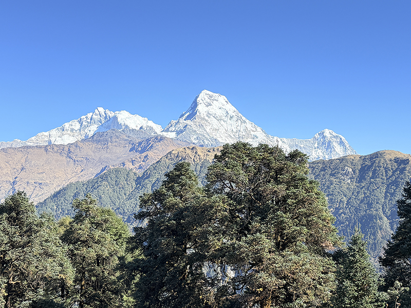
Mardi Himal remains one of the most reliable short treks in Nepal to book with confidence this season — five days, no flood-affected road on the route, and Machhapuchhre views from High Camp that don’t depend on anything happening hundreds of kilometers north. If you’re weighing it against a longer route, our Annapurna Base Camp Trek guide covers the one access road worth checking before you book, and our Nepal trekking safety update breaks down every region after this year’s floods. For a route built around your dates and pace, talk to our team directly.
This article reflects information available as of September 14, 2026. Confirm current trail and road status with your operator before departure.
Recent Posts